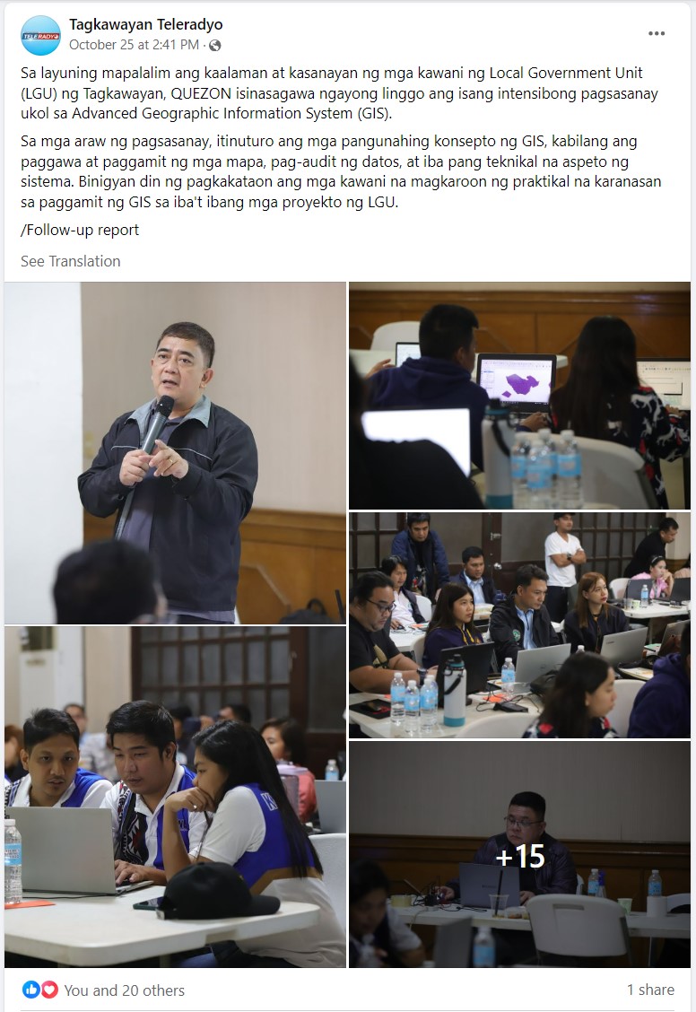
A total of 25 local government unit (LGU) personnel from the Municipality of Tagkawayan in Quezon Province attended and graduated from NAMRIA's Advanced Geographic Information System (GIS) training. The activity was conducted at the function hall of the Municipal Building of Tagkawayan on 23-27 October 2023.
Prior to this, the LGU underwent Basic GIS training last August 2023. Both Basic and Advanced GIS trainings were conducted through a Memorandum of Agreement (MOA) entered and signed by Administrator Usec. Peter N. Tiangco, PhD representing NAMRIA, and the Hon. Mayor Luis Oscar T. Eleazar representing the Municipality of Tagkawayan.
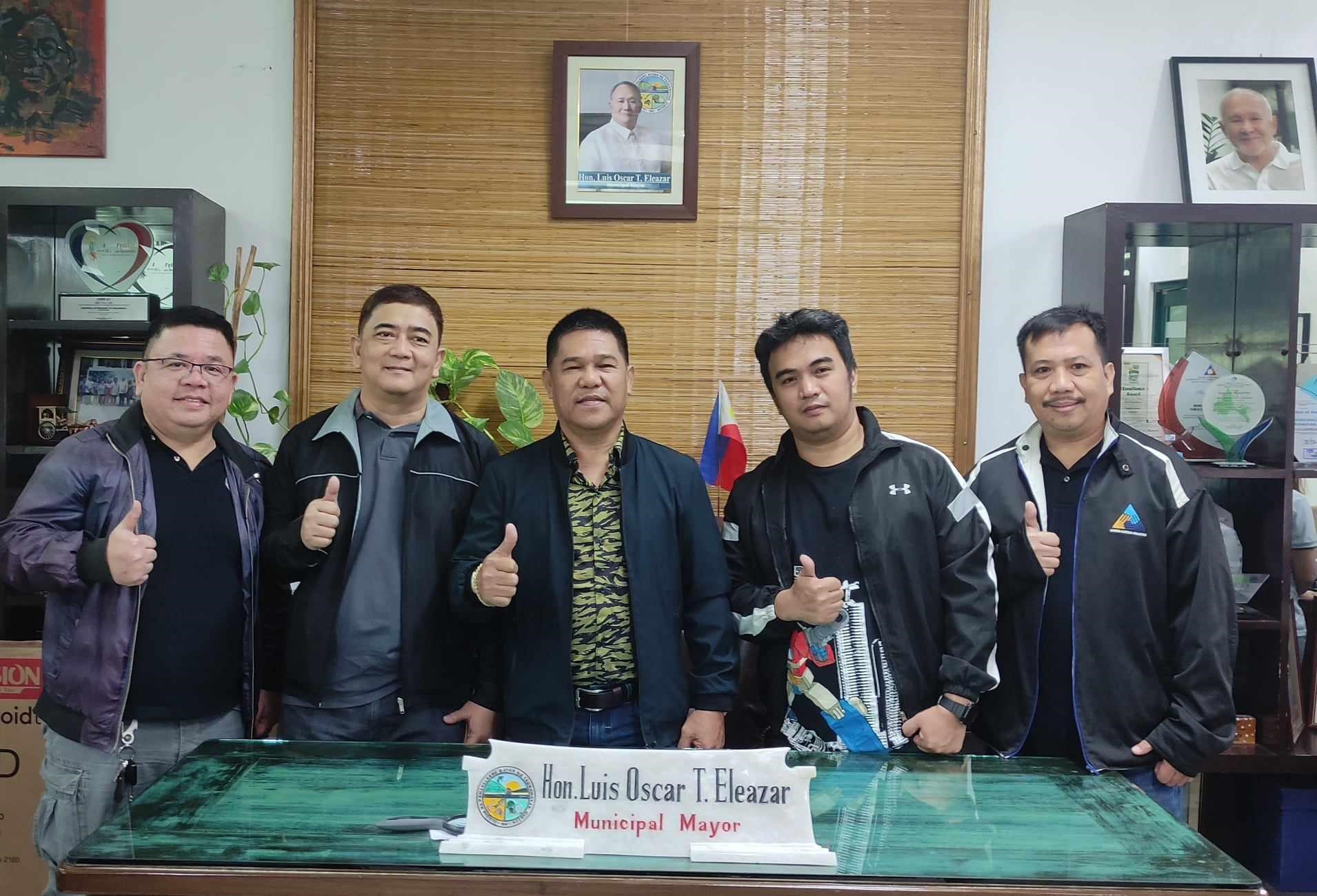
(from left to right) Mr. Hunt, Mr. Laurio, Tagkawayan Mayor Eleazar, Mr. Ilagan, and Mr. Lorenzana
The Advanced GIS training was spearheaded by the NAMRIA training team, which was composed of Mr. Alvin F. Laurio and Mr. Aljerico A. Alcala who served as resource speakers, Mr. Jeff N. Hunt as facilitator-coordinator, and Mr. Marco Arkiel C. Ilagan and Mr. Manuel Lorenzana, Jr. as training assistants. The team was supported by the Municipal Planning and Development Office (MPDO)-Tagkawayan, headed by EnP. Francis T. Villanueva and his senior staff, Mr. Froilan O. Marfori, who also served as the training secretariat for the said event.
A courtesy call to Vice Mayor Danilo L. Liwanag, the acting local chief executive of Tagkawayan, was conducted by the training team. The team gave Vice Mayor Liwanag and his staff a glimpse of what would transpire during the five-day training, highlighted the importance of the knowledge that would be acquired, and discussed the ways in order to manage and maximize its usage.
The main purpose of the five-day Advanced GIS training was to capacitate the participants in using GIS for decision-making processes, program/project monitoring and evaluation, and disaster and risk suitability analyses. The training also equipped them with knowledge of the map-making aspect needed for the development of their comprehensive land use plan (CLUP) and in support of their yearly activities.
The opening remarks during the training proper was delivered by Executive Assistant, Mr. Glen D. Tolentino, who represented the Mayor. He discussed in his message the future plans and programs of the LGU and encouraged their participants to seize the opportunity in learning additional knowledge and in upgrading their skills in GIS technology.
The training topics included a review of the map projection process, geo-referencing, clipping, merging, installation of relational database management software (RDBMS), geospatial database, linking table and spatial data from database and direct connection or through open connectivity database, among others.
A fieldwork/geotagging activity was also conducted, wherein the required final output of the participants included a map atlas layout and a laid out sample geotagged structures and way-points within the vicinity of the municipality captured using SW Map mobile application. The final output would be helpful in the planning and delivery of services of the LGU to their constituents.
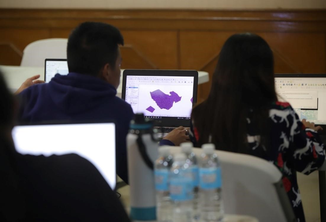
Assessor's office personnel during their hands-on activity
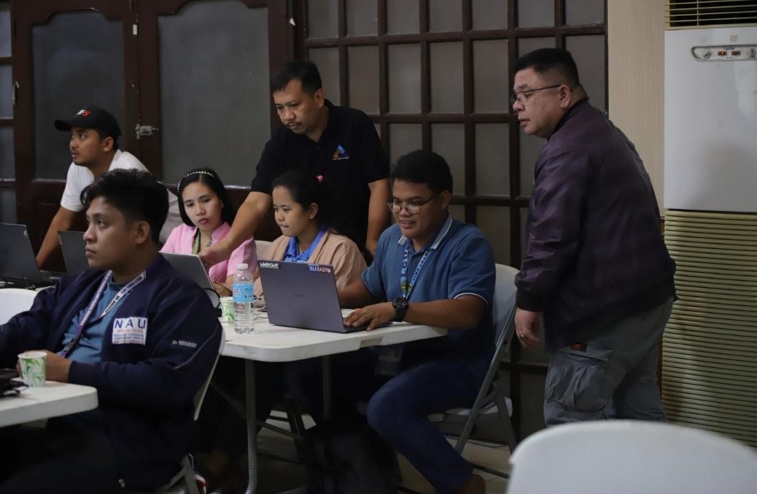
The training team guides the participants during their hands-on activity.
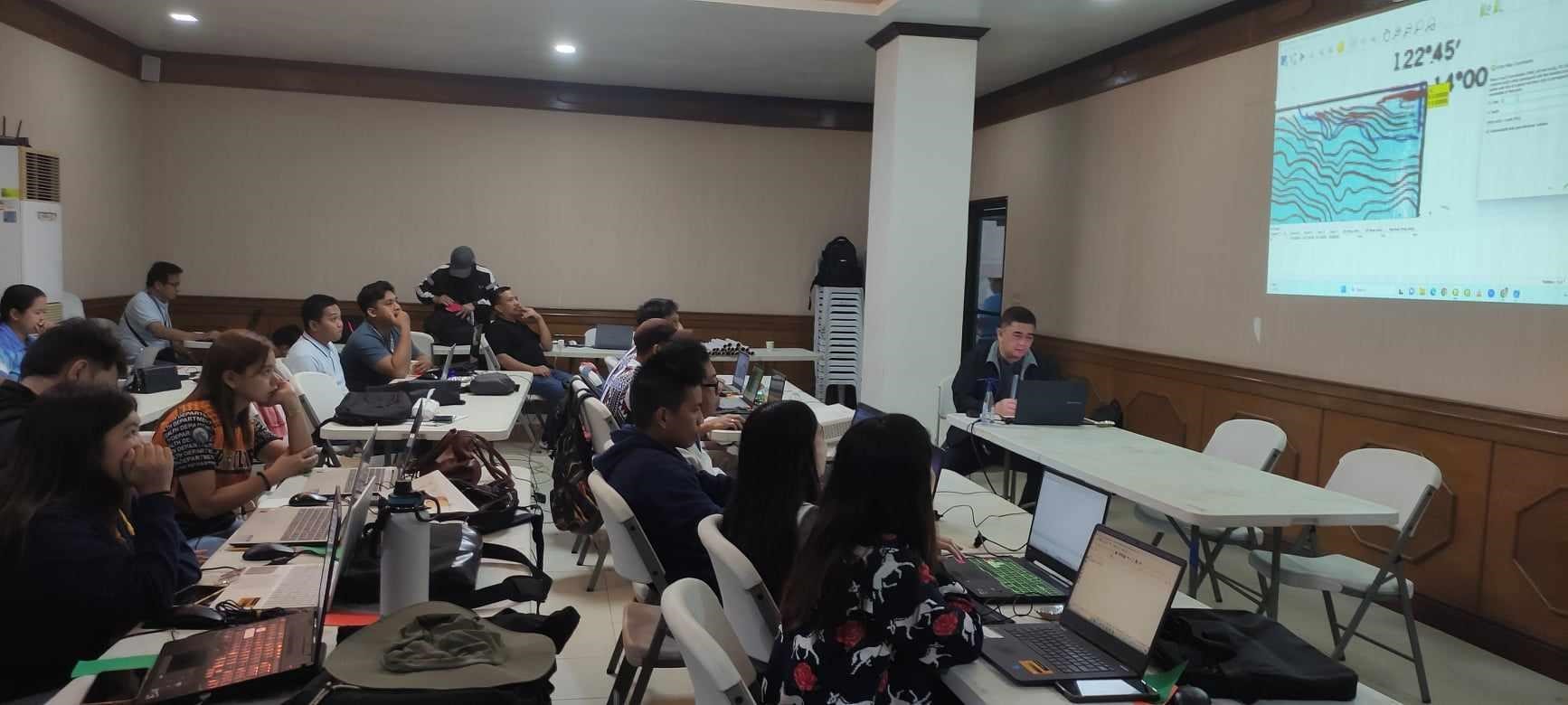
Hands-on training session of the participants
The courtesy call, actual training, and geotagging activity were captured, broadcasted, and streamed on their local radio network and online platforms, the Tagkawayan Teleradyo.
Readers can email
newscoop@namria.gov.ph or fax letters to +63-2 8884-2855 for their comments and suggestions.
 SHOP
SHOP


 LOCATE
 DOWNLOAD
 LEARN
LEARN