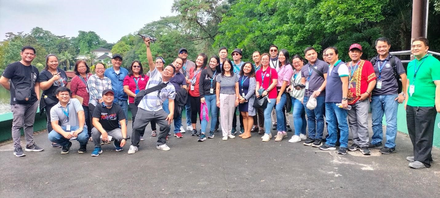
NAMRIA, through the Geomatics Training Center (GTC), spearheaded a training program on Unmanned Aerial Vehicle (UAV) Mapping for Geographic Information System (GIS) held online via Zoom on 04-07 December 2023 and onsite at the Ninoy Aquino Parks and Wildlife Center on 11 December 2023.
Tailored for the technical personnel of the Resource Data Analysis Branch (RDAB), the virtual lectures and hands-on activities aimed to equip the participants with knowledge and skills on the latest advancements in geospatial technology. The goal was to cultivate a deeper understanding of its significance, particularly in the context of land cover mapping, and enhance the practical proficiency of the participants.
The training program, supported by NAMRIA Administrator Usec. Peter N. Tiangco, PhD, was designed collaboratively by technical personnel from both RDAB and GTC. Mr. Ryan James R. Salazar of the Geospatial Integration Division (GID)-RDAB served as the main resource person, with Mr. Alvin F. Laurio as his alternate.
The highlight of the training program was the practical application of UAV Mapping. The hands-on activity enabled participants to directly engage in the collection of real-world data, providing them with an authentic setting to apply their newfound knowledge and skills.
The participants pose for a photo with Mr. Laurio (rightmost, in green shirt) and Mr. Salazar (standing 9th from the front row right, wearing sunglasses)
Readers can email
newscoop@namria.gov.ph or fax letters to +63-2 8884-2855 for their comments and suggestions.
